
History of a Periphery: Spanish Colonial Cartography from Colombia's Pacific Lowlands
History of a Periphery: Spanish Colonial Cartography from Colombia's Pacific Lowlands
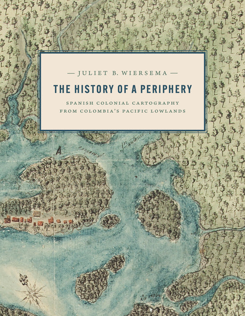
2025 ALAA Book Award, Association for Latin American Art/Arvey Foundation, College Art AssociationAn exploration of Colombian maps in New Granada. During the late Spanish colonial period, the Pacific Lowlands, also...
Vendor
University of Texas PressSub total
$60.00Couldn't load pickup availability
Estimated deliver 5-7 days
People are viewing this right now
Description
Shipping Information
2025 ALAA Book Award, Association for Latin American Art/Arvey Foundation, College Art Association
An exploration of Colombian maps in New Granada.
During the late Spanish colonial period, the Pacific Lowlands, also called the Greater Chocó, was famed for its rich placer deposits. Gold mined here was central to New Granada's economy yet this Pacific frontier in today's Colombia was considered the "periphery of the periphery." Infamous for its fierce, unconquered Indigenous inhabitants and its brutal tropical climate, it was rarely visited by Spanish administrators, engineers, or topographers and seldom appeared in detail on printed maps of the period.In this lavishly illustrated and meticulously researched volume, Juliet Wiersema uncovers little-known manuscript cartography and makes visible an unexamined corner of the Spanish empire. In concert with thousands of archival documents from Colombia, Spain, and the United States, she reveals how a "periphery" was imagined and projected, largely for political or economic reasons. Along the way, she unearths untold narratives about ephemeral settlements, African adaptation and autonomy, Indigenous strategies of resistance, and tenuous colonialisms on the margins of a beleaguered viceroyalty.
Bahamas (Domestic): Standard delivery available for $10.00 or Free on eligible orders.
International: Flat rate of $20.00
United States:
Economy Mail starts at $4.06.
Expedited Mail from $16.00 (0–5 lb) and $22.50 (5.1–10 lb).
Shipping costs are calculated at checkout based on your location and order weight.